
Anderson Island Prepares

Come join our first FUNdraiser!
Come for the chocolate. Stay for the mystery. Help us prepare our island community.
Anderson Island Prepares is stocking four shelters for use in the event of a disaster and we need your help!
At each shelter we will provide medical care, prepared food and sleeping accommodations for those who cannot stay in their homes, and an emergency communication system to inform loved ones of our situation if the phones are down.

Know Your Zone
Find your Anderson Island disaster preparedness zone, neighborhood and Neighborhood Coordinator.

Be Prepared for a Disaster
Prepare what your family and pets would need during the critical first days, weeks and possibly months until help arrives.

Respond to a Disaster
Learn what to do after various disasters and how the Anderson Island disaster response network will operate.
Find out what we’ve been up to
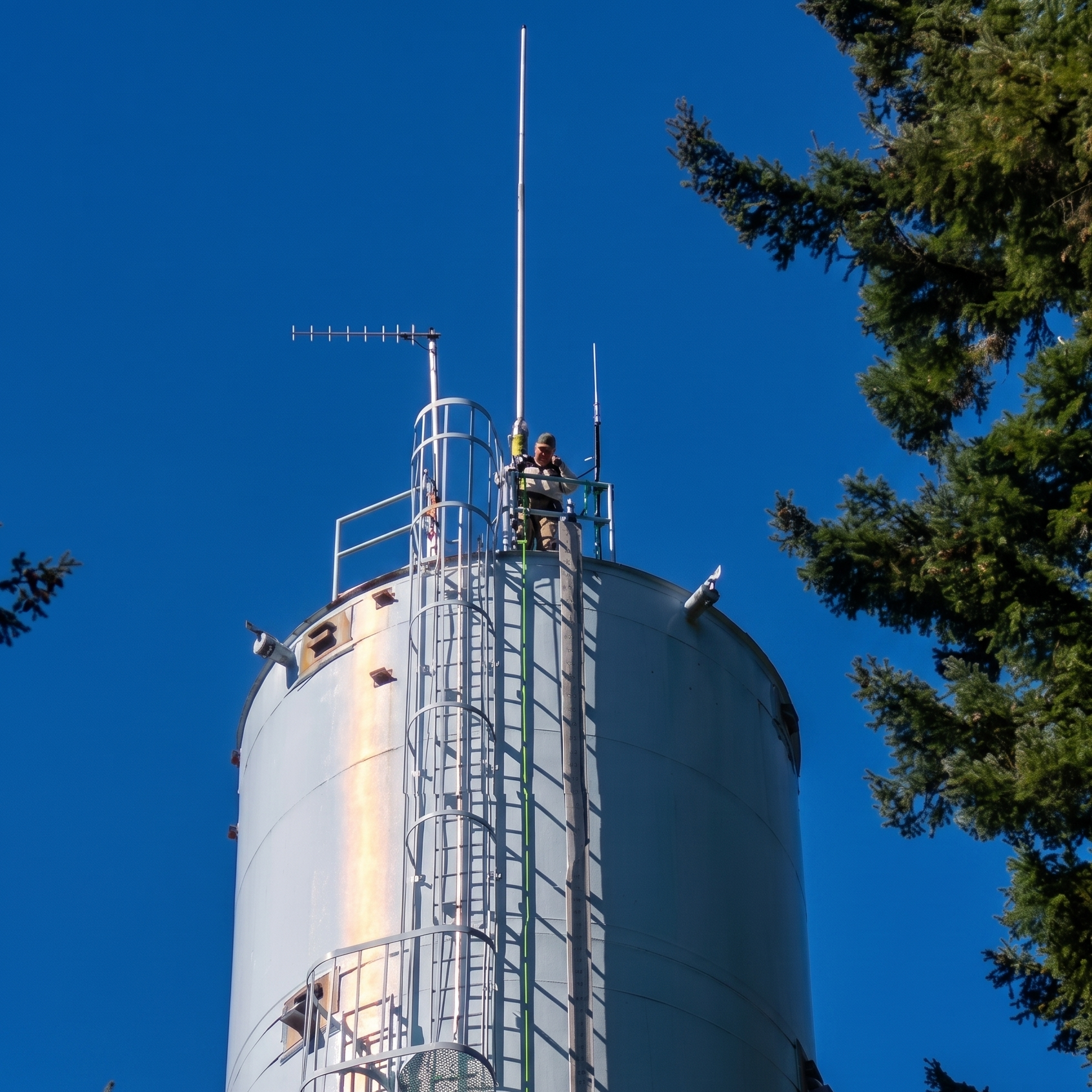
Our team is constantly climbing to new heights, helping our islanders to rehearse emergency communications, to educate themselves in fire safety, and to know what to do in the critical first minutes after a disaster occurs.
The more people know the plan, the better the outcomes when it happens.
Zones

Zone 1
The northwest corner of the island. Yoman Rd and Lovass Rd in the south, and Eckenstam Johnson Rd to the east.

Zone 2
The northeast corner of the island. Lake Florence in the south, Eckenstam Johnson Rd to the west.

Zone 3
East side of the island between the Puget Sound and Lake Josephine. Interlaken Park to the north, and Sandy Point to the south.

Zone 4
Center of the island between Hillcrest Dr to the north and Country Club Rd to the south, Eckenstam Johnson Rd to the west, and Lake Josephine to the east.

Zone 5
The southeast corner of the island between Lake Josephine and Cole Point, and Lake Josephine Blvd to the west.

Zone 6
The southwest corner of the island. Sandberg Rd and Country Club Dr to the north, and the boundary of Zone 5 to the east.

Zone 7
The west of the island. Eckenstam Johnson Rd to the east, Yoman Rd to the north, and Sandberg Rd to the south.

Zone 8
The center of the island between Lake Florence to the north, Hillside Rd to the south, Eckenstam Johnson Rd to the west, and Interlaken Park to the east.